GPS Onosokki
How to choose the right information when buying a GPS device
GPS positioning is no longer unfamiliar today, but choosing a suitable device among the wide range of products on the market requires a clear understanding of your actual needs. Fundamentally, a GPS device receives signals from satellites to determine the user’s geographic coordinates. Accuracy typically falls within the range of 5–10 meters, although this figure can vary depending on weather conditions or surrounding terrain such as high-rise buildings or mountainous areas that obstruct the signal.
In everyday use, beyond smartphones, dedicated GPS devices still hold their own thanks to more reliable signal reception in remote locations. If you frequently go trekking, hiking, or need to perform basic land surveying, understanding parameters such as the number of connected satellites and the supporting technologies involved will help you use the device more effectively.
Practical advantages of handheld GPS devices
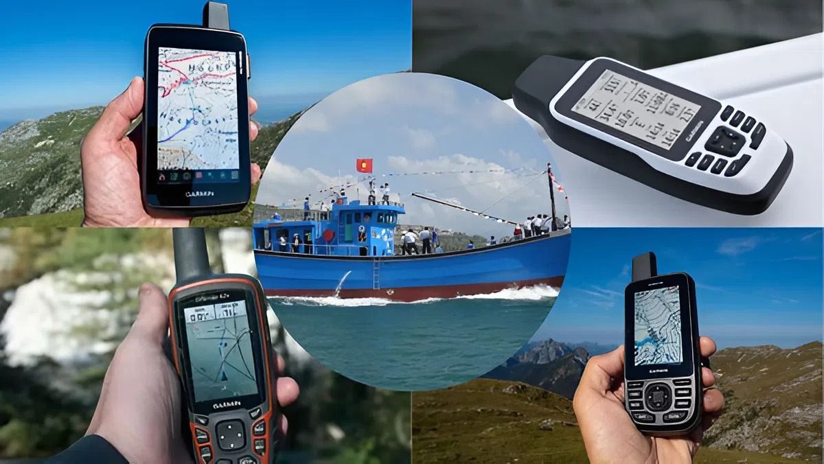
What drives many users to choose handheld GPS units instead of relying solely on smartphones is their flexibility and durability. These devices are typically designed to be water-resistant and capable of operating reliably in harsh weather conditions such as heavy rain or snow. In addition, the ability to store route data and display detailed topographic maps makes them a valuable companion for long trips in areas without mobile network coverage.
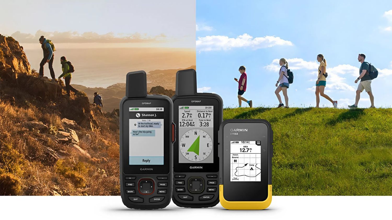
Within EMIN’s product range, Garmin handheld GPS devices are practical choices for a variety of applications. For example, if you need a compact device to carry during outdoor activities, the GARMIN eTrex 22x stands out for its simplicity and long battery life. For users who require a larger screen and more detailed maps for surveying work or complex navigation, the GARMIN Montana 700 offers clearer and more comprehensive information on elevation and real-world terrain.
Applying GPS devices to management and search-and-rescue operations
Beyond navigation, GPS devices also play an important role in asset management and search-and-rescue support. In unfortunate situations such as getting lost or encountering an accident, the coordinates transmitted from the device become the most critical information for rescue teams to locate the exact position. Recording previously traveled routes also allows users to return to the starting point easily without the risk of getting lost in unfamiliar areas.
To ensure stable operation, regular map data updates are essential. Devices such as the GARMIN GPSMAP 64SC available at EMIN not only provide accurate positioning but also support geotagged photo capture, which is highly useful for documenting routes and field data. Making a small shift from general-purpose applications to dedicated devices can help you stay more proactive and safer on every journey, whether for exploration or outdoor work.
-
-
-
-
-
-
-
-
-
-
-
-
-
-
-
-
-
-
-
-
-
-
-
-